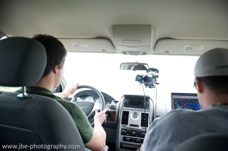
Monday looked like our day for a tornado intercept. I was out with Adam Lucio, Jennifer Brindley, and Jonathan Williamson on the second day of our two day plains run. We had spent the night in Kearney, NE and were going over the morning model runs at the Egg and I while grabbing some breakfast. A strong surface low was forecast to move northeast through KS into NE. Deep moisture was forecast to wrap all the way around the low, strongly destabilizing central and eastern NE in a ring like shape. A potent trough was also forecast to eject out over southern NE and KS. With strong instability, significant speed and directional shear, supercells appeared likely across the warm sector, and with the cap mostly gone by early afternoon it looked like storm coverage would be extensive as well. |
 |
With the whole area looking good, the question was where should be we target? Northeast of the surface low looked like it had the best shear and instability combination. By 7pm, models had discrete cells with strong rotating updrafts tracking through the area, but storms were also forecast all the way around the surface low and down into KS. I was worried the coverage might be too extensive and the storms would interfere with each other. We decided that points just east and northeast of Kearney looked pretty good so we decided to hold our ground.
After breakfast we gassed up and were hanging out at the gas station talking to a couple of other chasers. A storm had initiated in north central, KS tracking due north. It had been going since morning and was now tornado warned. A couple of chasers on the storm were reporting tornadoes. It looked like the early sucker storm that lures chasers away from their target, and yet the storm remained isolated and was moving into a better airmass with more moisture and helicity. As the storm approached us from the south, and after pouring over the models, I decided we better make a play on the storm. I had to argue the play to everyone else. Moisture looked like it would continue to wrap around the low and as the storm approached the warm front it should continue to put down tornadoes. I hoped we could play other storms to the east later, but there was a concern that playing this storm would put us behind all of the afternoon and evening action. Only Jon wasn’t convinced. He wanted us to hold our ground, let the storm go, and wait for better stuff later. In hindsight we might have had a significantly better chase if we held back and made it on the right storm, but I think the chase could have still gone either way if we held our ground. We overruled Jon and decided to go for the Kansas storm. At this point, I regretted not being down there already as the storm had been underway for hours while we were sitting in Kearney watching. |
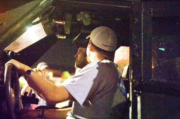
We headed south on 44, cut over to 183, and went west out of Orleans for the intercept. |
 |
|
 |
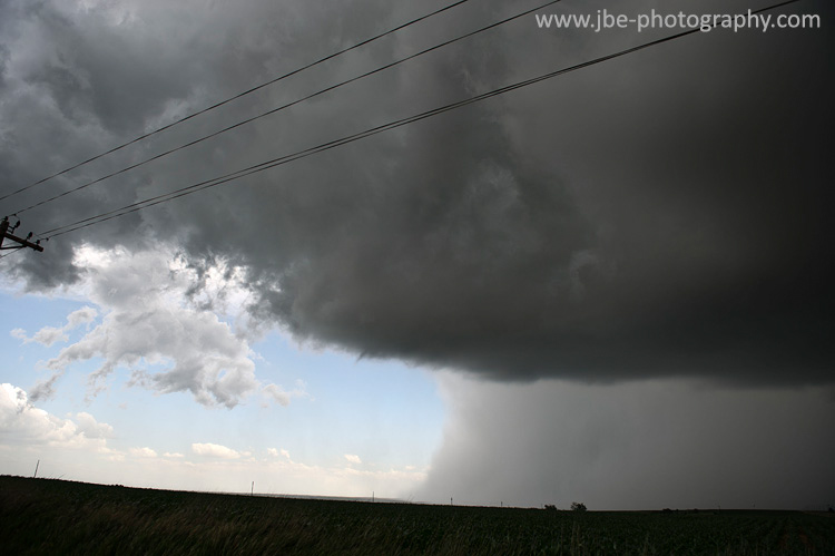
Our storm came into view from miles out as a robust updraft tower and anvil. There were no other low level clouds between us and the storm, giving us a clear view of the entire storm. The base of the updraft terminated with a solid looking precipitation core. It looked as if the storm went straight down to the ground. The sight was dramatic. |
 |
We headed south on a gravel road to parallel the storm’s north northeast movement. An HP supercell, the rain wrapping around the updraft base cut off our view. We’d have no shot at spotting a tornado from the east. We decided to get closer and right into the storm’s inflow notch. I drove us into Stamford and we turned north to get away from the town and ahead of the storm. |
 |
From within the inflow notch we could see the rear flanking core pushing out from a turbulent updraft. The ragged base loomed overhead with some turbulent motion but we couldn’t see any real tight areas of rotation. We strained to peer through the rain curtains in the rear flanking core to see if there might be something behind them. |
 |
| |
 |
|
 |
| |
 |
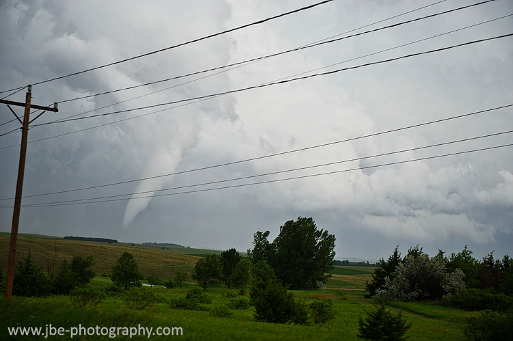
| We couldn’t make it out at the time, but Jon was able to contrast enhance what looks like a large condensation funnel out of one of Jenn's photos. |
 |
Underestimating the storm’s capabilities, we lingered too long. The storm’s updraft base moved overhead. We finally had everyone loaded into the van and were moving north to get out from underneath, when I started hearing “TORNADO!” being exclaimed from the backseat. In the field immediately to our east, a debris cloud of dust and corn husks was spinning up. Relatively small and weak as far as tornadoes go, it was still quite alarming to see a tornado developing a few dozen yards from our location, and moving in our direction. |
 |
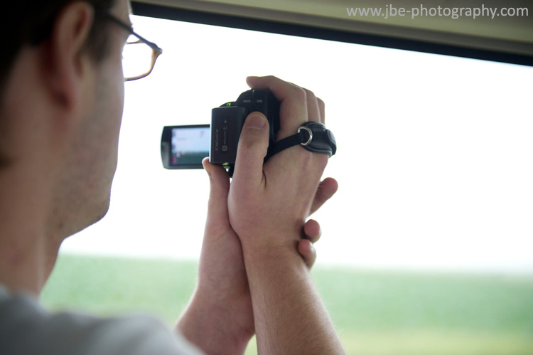
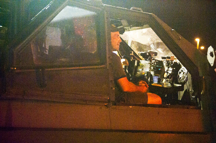
| “GO!” I heard from the backset. I floored the van’s accelerator. On the gravel road, the wheels slipped trying to find traction. The van lumbered forward and it seemed like it took ages to accelerate. I focused on the road while Jon and Adam watched out the side and back windows to track the tornado. We picked up speed and the tornado crossed the road behind us. Once assured that we were ahead of it, we stopped to get our bearings. We all hopped out of the van and shot a few pictures and some video of the tornado behind us. |
 |
The contrast wasn’t the best, but you could still plainly make it out, looming just behind us. You had to look up to see the condensation funnel, a cone shaped nub aloft and a brown tube of dust extending down to the ground, right on the edge of the rear flanking core’s rain curtains and the updraft base. We were out of the path, the tornado moving off to the north northwest, but we were still alarmingly close I thought. If the tornado turned right we could be in the path again. We piled in and put some more ground on the tornado, Jon shooting out the side of the van with the sliding door open. |
 |
We made it to pavement and turned west to get a little closer to our tornado, now that we were out of the path, behind it, and it was moving away from us. Contrast did not improve much, and the condensation funnel remained aloft. It was still an amazing sight, however, and we were finally able to relax and get a decent shot of it. |
 |
Jon getting video of the dusty brown tornado with funnel aloft: |
 |
The tornado lasted a couple more minutes before the funnel retreated into the base of the storm and the dusty brown tube below it dissipated. As if the two were connected, the death of the tornado signaled the death of the parent storm as well, and the updraft tower collapsed into nothing, the base shriveling up. We were just in time to catch the storm’s last gasp.
A few cells had developed north of our storm, also moving north. We raced after them as reports of large tornadoes started to come in. Behind the storm’s hooks, however, we were never in a good position to get ahead of them or get a view. |
 |
We continued north to 80 and headed east a short ways to Odessa before stair stepping north and east. Storms were going up along the length of the boundary in an arc around the surface low, just as the models had predicted. There was little spacing between the storms, however, and I feared they might interfere with each other. We bumped into Jesse Risley and his crew and stopped to say hi. They were parked on a gravel road watching the turbulent motions in the back end of the storm. We didn’t really have much of a view of anything too exciting, and there were still tornado warned supercells to go after, so I made everyone say their farewells and we piled back into the van. |
 |
We ran east several miles. I caught one of the white chunks of cloud extending down to the ground as we passed an opening in the trees. Jon called out tornado immediately afterwards. We turned north on highway 10, which runs north of Kearney, to get closer. |
 |
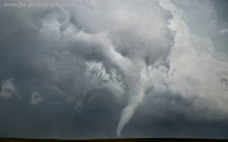
The tornado was a very photogenic white stovepipe, but it was still several miles to our northeast so we raced in to get a better view of it. Nick Nolte was ahead of us as we approached. Adam and Jon shot video while Jenn got stills through the open sliding door. |
 |
|
 |
|
 |
|
 |
| It was definitely one of the more photogenic tornadoes I had seen all year. There wasn’t too much structure on the storm, but the tornado was a gorgeous white stovepipe against a deep blue precipitation core with churning white clouds above. It seemed to just emerge from the back end of a nondescript line of storms. |
 |
| I wanted to really get in there for the best shots though so we kept moving. We were on a nice road grid so we could go east at any point. I wanted to get about even with the tornado before we made our turn, however, and we had another mile and a half to go. |
 |
| Tornadoes usually give you some warning that they are starting to rope out. They tighten up and the condensation funnel gets a little skinnier, and you usually have a couple minutes before they completely dissipate. |
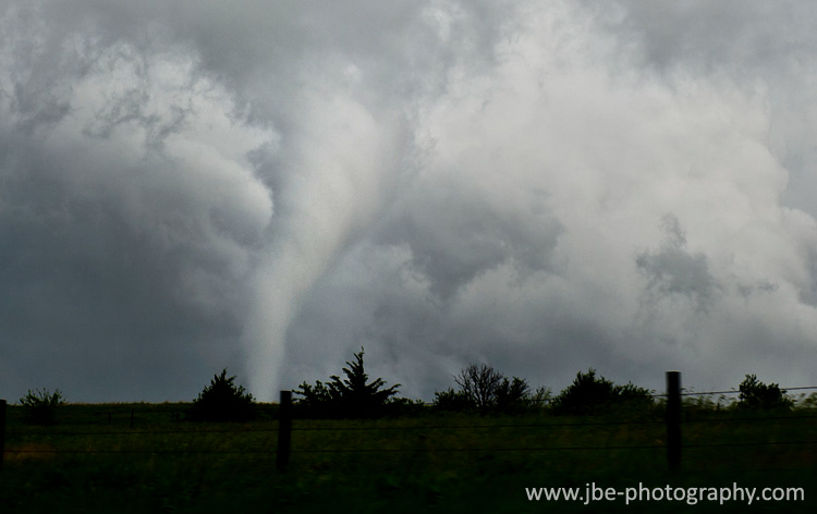 |
This tornado, however, appeared to just collapse within moments. Perhaps it was blasted by cold stable outflow or crossed over to the cool side of a boundary, but there was no rope out. Our tornado vanished before we could get into position to stop and really watch it. |
 |
We took our east road anyway, hoping the storm was still chaseable and would produce again. We never got a clean view of the updraft base, however. The line of cells seemed to converge on each other. We made a vain attempt to core punch the back end of the hook north of Ravenna. Visibility was absolutely zero and I was making no headway against the storm’s northerly motion. Not wanting to drive into a rain wrapped tornado or fool around in a core that was impossible to see through, I aborted the core punch. We passed the Twistex crew trying the same maneuver. Jon wanted to follow but after sampling the core I knew it wouldn’t be worth it. I turned the van around and headed south. The Twistex group didn’t fare much better as a truck passing them took out their vehicle’s sunroof with some falling rocks.
The line of cells we were chasing had pretty much congealed into a solid line. We decided to make for distant, but more isolated activity coming out of the Grand Island/York area. The dominant supercell coming out of this area had already put down a string of tornadoes, and I hoped it would stay together by the time we made it out there. We needed gas, however, so we stopped in Saint Paul first, meeting up with chaser Terrence Cook and his crew.
We blasted east on 92, catching our storm near Osceola. We passed a damage path that looked to have been made just minutes earlier. Our storm was a solid looking high precipitation supercell. The main updraft base looked a little elevated and any wall cloud or lowering was deeply buried in massive amounts of rain. We had no real view. We stair stepped up to Columbus and went north on 81 out of town to pursue our storm. We had fallen behind while our road directed us into town, and our storm was accelerating to the north, a sign that it was on its way out. After a few more minutes it was obvious the storm was starting to come apart as it appeared to lose its supercellular structure and reflectivity scans on the radar weakened. Before sunset, we conceded defeat on the storm and decided to call it a chase. We turned around and headed into Columbus for a steak dinner to celebrate our two tornado catches. |
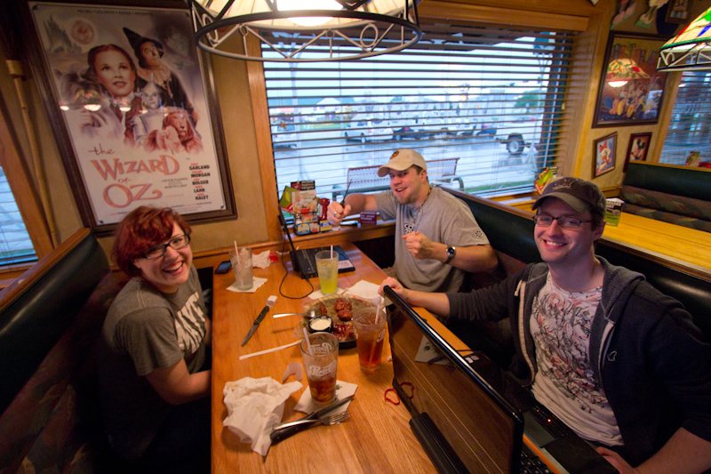
The local steak house was already closed, but the Applebee’s was still open. I’ve had more celebratory steak dinners at Applebee’s than any other restaurant on the chase.. |
 |
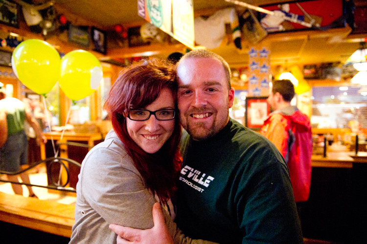
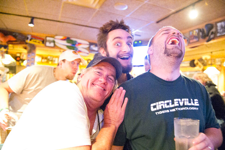
Brindley called Tony Laubach, as Twistex was in the area, to have them come join us. Tim Samaras' Twistex crew Sean Casey and the TIV crew showed up shortly after Twistex, and the Applebee’s lot was filled with armored vehicles, mesonets, and the Discovery Channel crew. It was the last chase of the season for both teams, and they had spectacular chases with numerous photogenic tornado intercepts at close range so everyone was in a celebratory mood. Despite having caught two tornadoes ourselves, we were pretty jealous to see the shots that came out of the York area. It was the same storm we followed into Columbus, but we were a little late for the tornado show after chasing stuff further west. |
 |
My original plan was to make an all night drive back to Chicago so I could be at work the next day. After Darin Brunin awesomely bought us a round of drinks, we wound up having a couple more rounds, and as the party unfolded I came to the conclusion that we weren’t going to back to Chicago the same night. |
 |
| |
 |
| |
 |
| |
 |
| |
 |
| |
 |
| |
 |
| |
 |
| |
 |
| |
 |
| |
 |
| |
 |
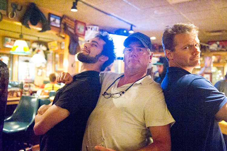
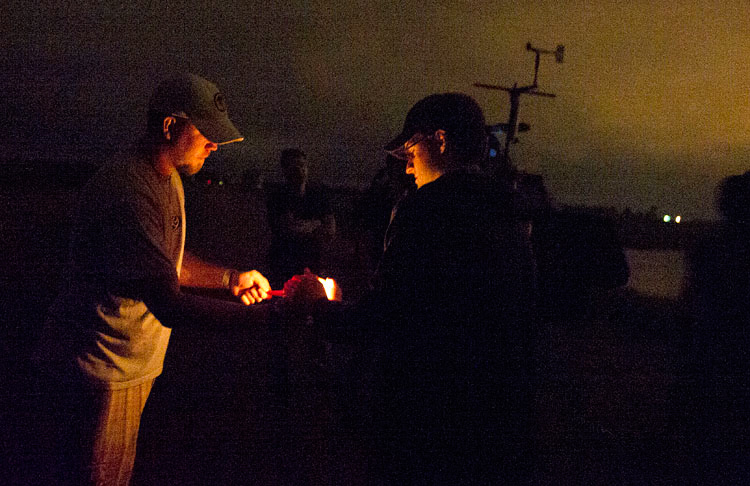
Tim Samaras’ and Sean Casey’s crews were an awesome bunch to hang out with. |
 |
| |
 |
| |
 |
| |
 |
| |
 |
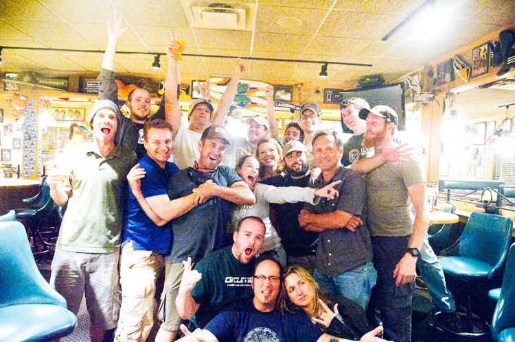
Group shot with a lot of the Discovery Channel crew:
We didn't know it at the time but this was not just the end of the season for these guys, but the end of the Discovery series. We wish them luck on future endeavours |
 |
| |
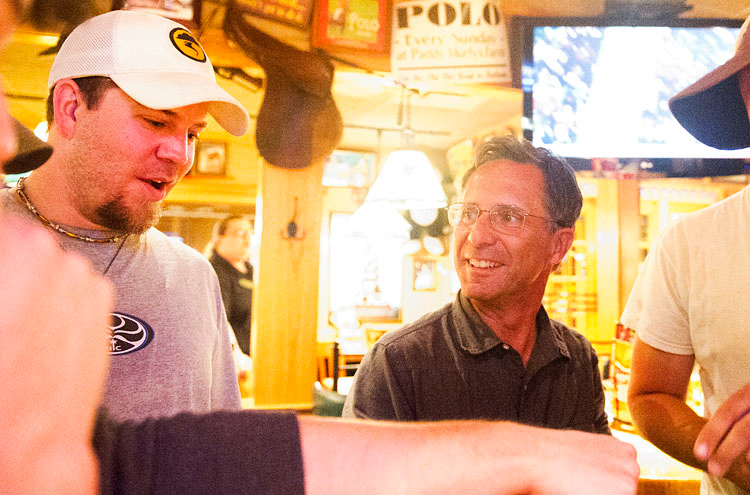 |
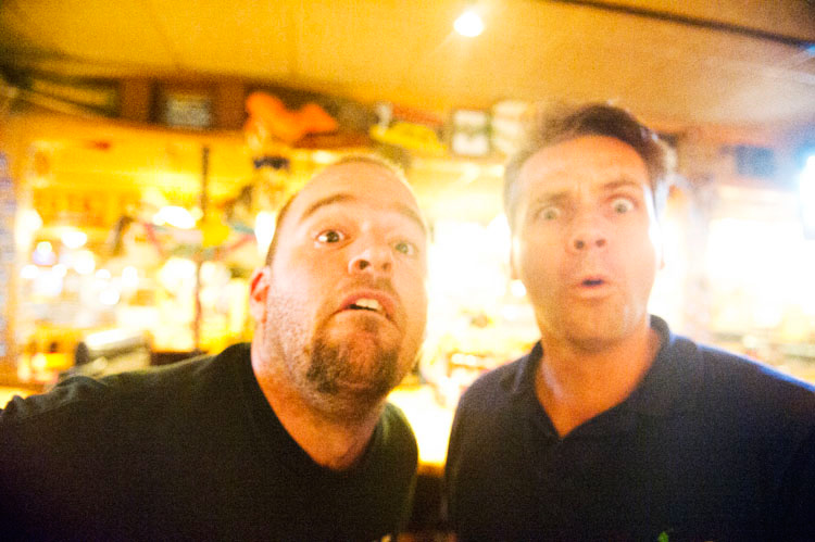
| The party carried over out of the Applebee’s to the hotel where everyone was staying, Adam got to be the TIV’s designated driver, and we didn’t get back our own room until nearly 4. I’ll spare the details except for some pictures that Brindley shot, but the party was as epic and fun as the chase itself. What an awesome end to the last big tornado chase of the year. |
 |
| |
 |
| |
 |
| |
 |
| |
 |
| |
 |
| |
 |
| |
 |
| |
 |
| |
 |
| |
 |
| |
 |
| |
 |
| |
 |
| |
 |
| |
 |
| |
|
| Conclusion:
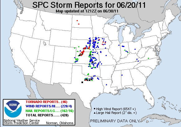
June 20 turned out to be one of my best chases of the year. We got a couple nice tornadoes and I had a blast chasing with Jon, Adam, and Jenn. The party that followed with the TIV and Twistex crews was legendary. The tornadoes they saw were significantly more photogenic, and maybe we would have had a shot at them had we held our ground at Kearney and waited for later activity. That’s anyone’s guess though, and our tornadoes could have just as easily been the show of the day. There was a small outbreak across central Nebraska, but luckily most of the tornadoes had fairly narrow damage paths and stayed out over open terrain. |
|
Lessons Learned:
-
Sometimes patience pays off, and the best storms come later in the day as the best parameters are realized.
-
Don't linger under the wall cloud.
-
Don't hang back socializing with no view when there are still tornadoes to be had.
|
|
 |

