
April 10, 2017
Statistics
Initial Target
Start
End
Storm Intercepts
Tornadoes
Hail
Wind
Features
Miles
Bloomington, IL
Lebo, KS 9:00 AM 4/10/2017
Springfield, IL 5:45 PM 4/10/2017
Gridley, IL
0
0"
0 mph
Gust Front
593
Summary
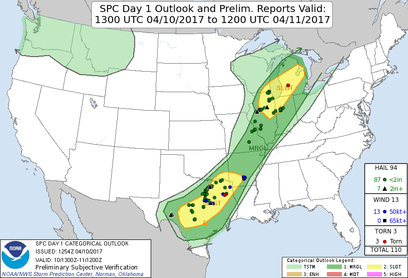
Cold front setup in Illinois. Targeted Bloomington, IL area after car failure the previous day in eastern Kansas. Intercepted storm with gust front before calling chase and heading for home by early evening.
Crew and Equipment
Solo chase. Equipment: Sony FDR-AX100.
Video
Details

I caught a storm north of Bloomington. It looked like it was trying to be a supercell with a rear flank downdraft clear slot.

I tracked the storm for a few miles, a large gust front starting to expand out from the base. It filled in with rain and fell apart so I called the chase and headed for home.

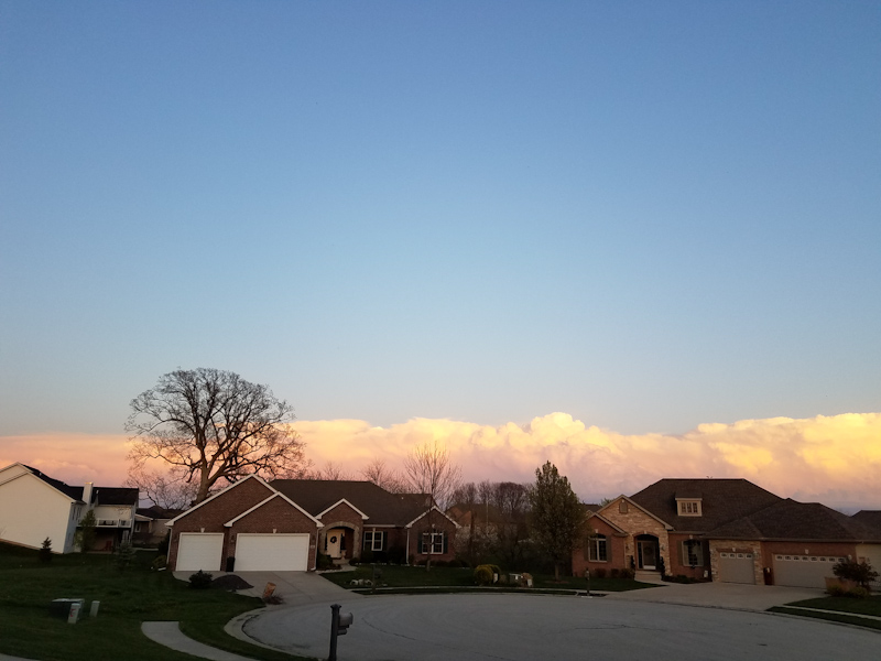
7:28 PM
Conclusion
A lackluster chase by most standards, but it was at least nice to see a storm on this disaster of a trip.
Lessons Learned
Follow On The Web!


Storm Chasers Giving Back!

Webpage, graphics, photos, and videos © Skip Talbot or respective owner 2018.
skip.talbot@gmail.com Skip's Webzone